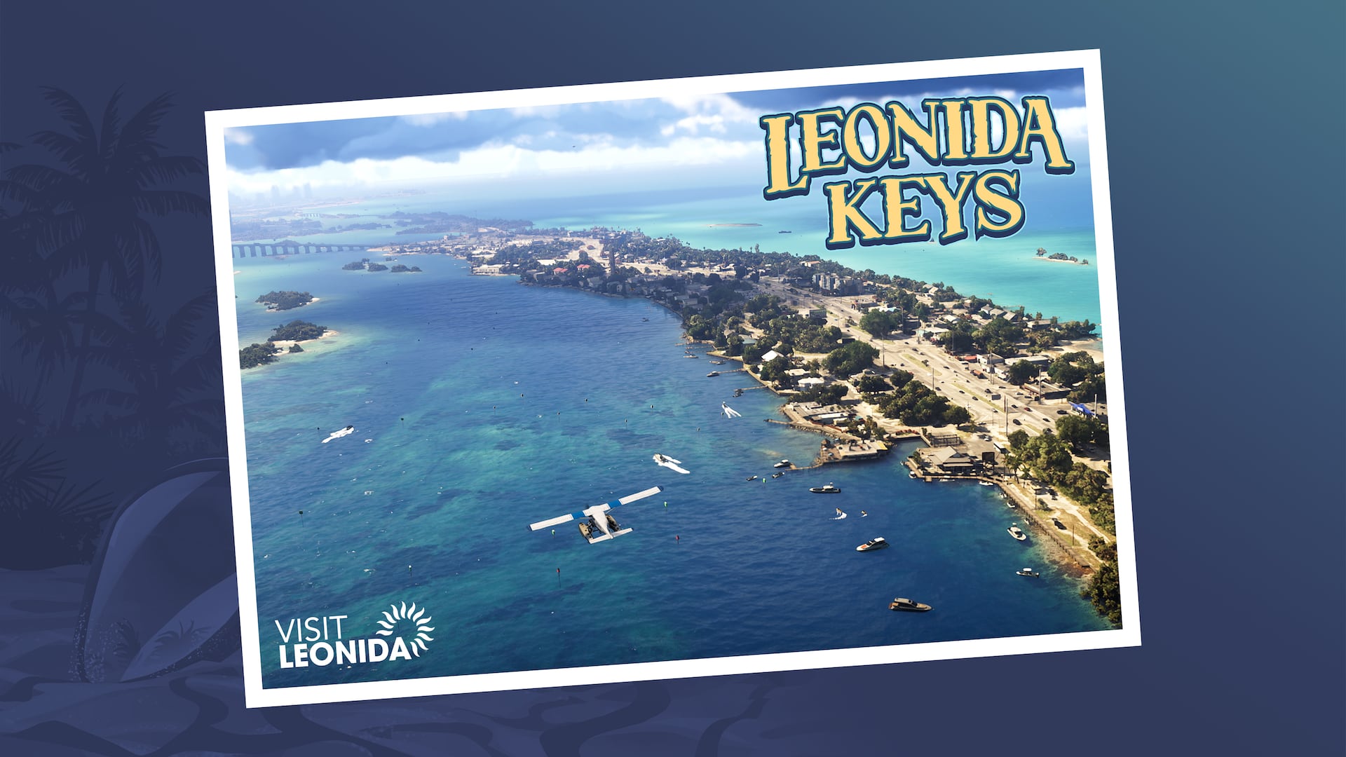
The islands south of the mainland
Leonida Keys
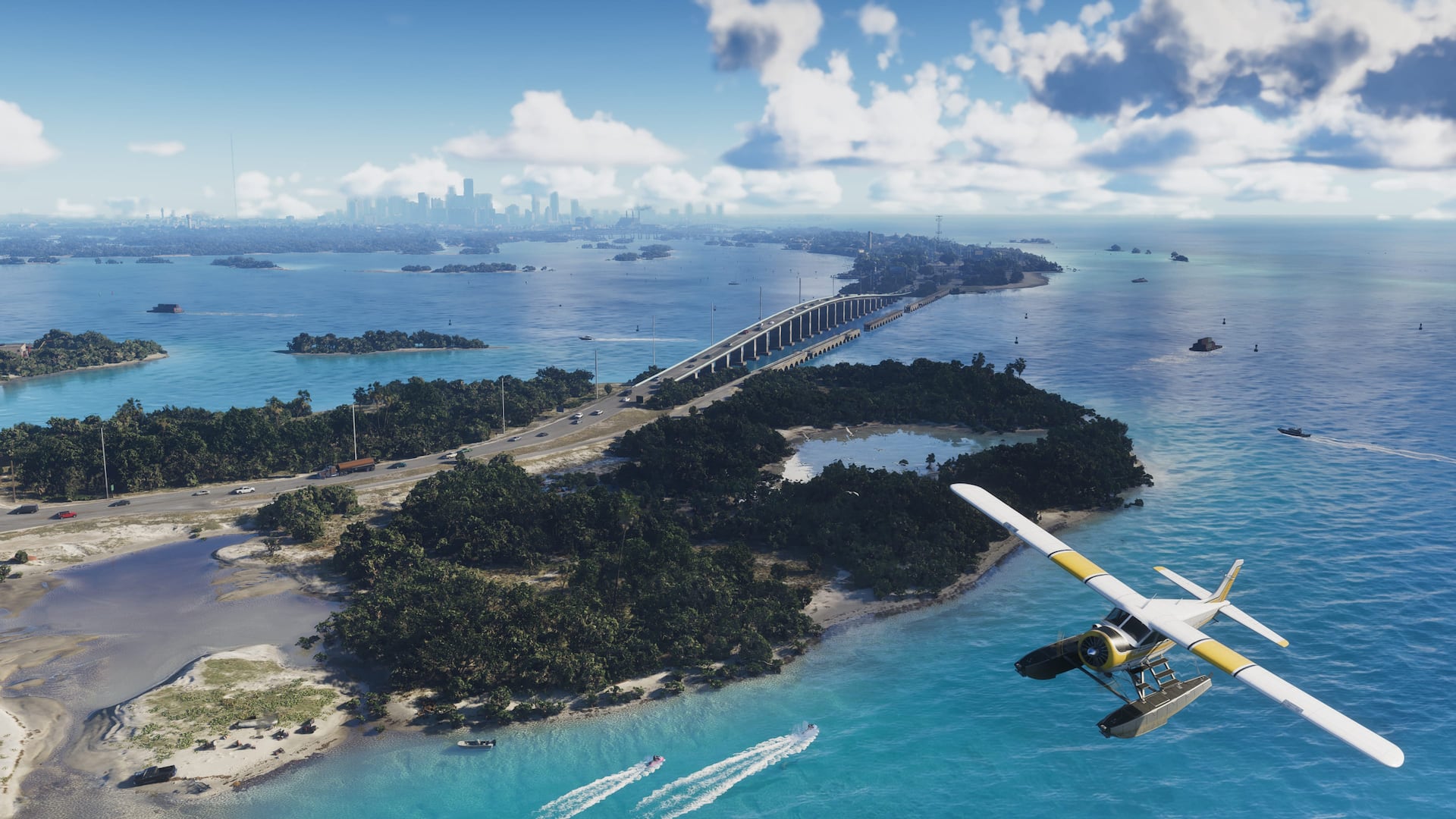
Island roads, open water, bridges, marinas, hideaways, and routes stretching through the tropical Keys.
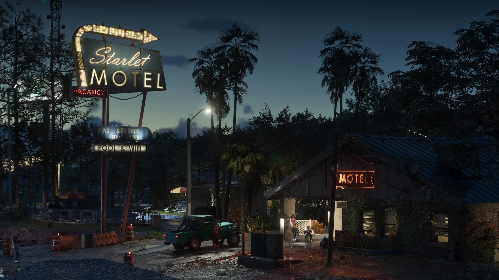
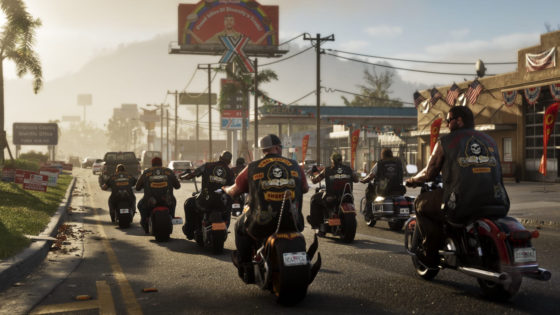
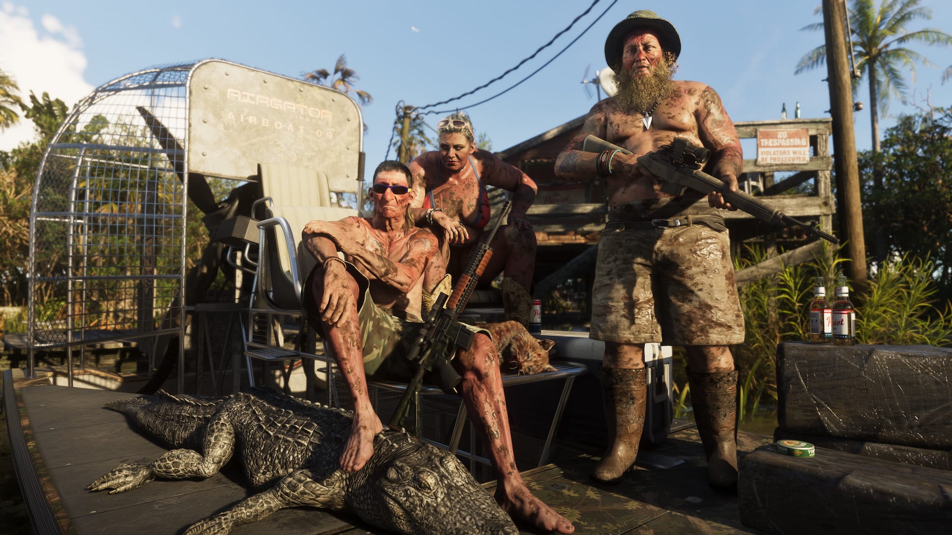
Official Grand Theft Auto VI promotional imagery: Rockstar Games
Regional overview
Know the area. Connect the evidence.
The Leonida Keys form a long island chain where roads and bridges meet open water. GTAGeo tracks the settlements, businesses, marinas, shoreline landmarks, travel routes, and discoveries that distinguish each island instead of treating the Keys as one undivided area.
GTAGeo field desk
What the map is tracking.
Individual island names and boundaries
Boat access, bridges, roads, and route connections
Businesses, interiors, activities, and mission locations
Repeatable evidence for offshore and shoreline discoveries
Published regional records
Locations connected to Leonida Keys.
The regional desk is open
Help place the first detailed records.
This guide is ready to collect exact locations, screenshots, routes, businesses, mission clues, and corrections for Leonida Keys. New findings should become evidence-backed location records, not loose claims.
Keep the regional picture useful
Map what can be checked.
Use exact names, recognizable landmarks, clear screenshots, source links, and repeatable directions. GTAGeo separates official facts, developing evidence, and unverified reports so popularity never becomes proof.
Continue through Leonida