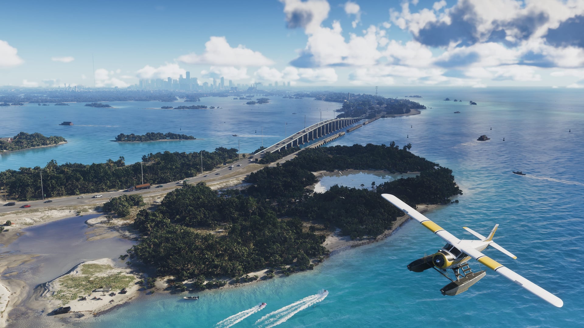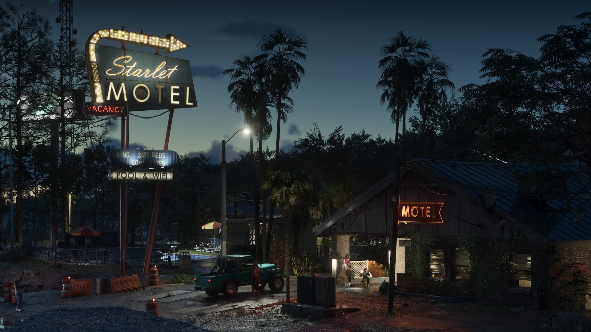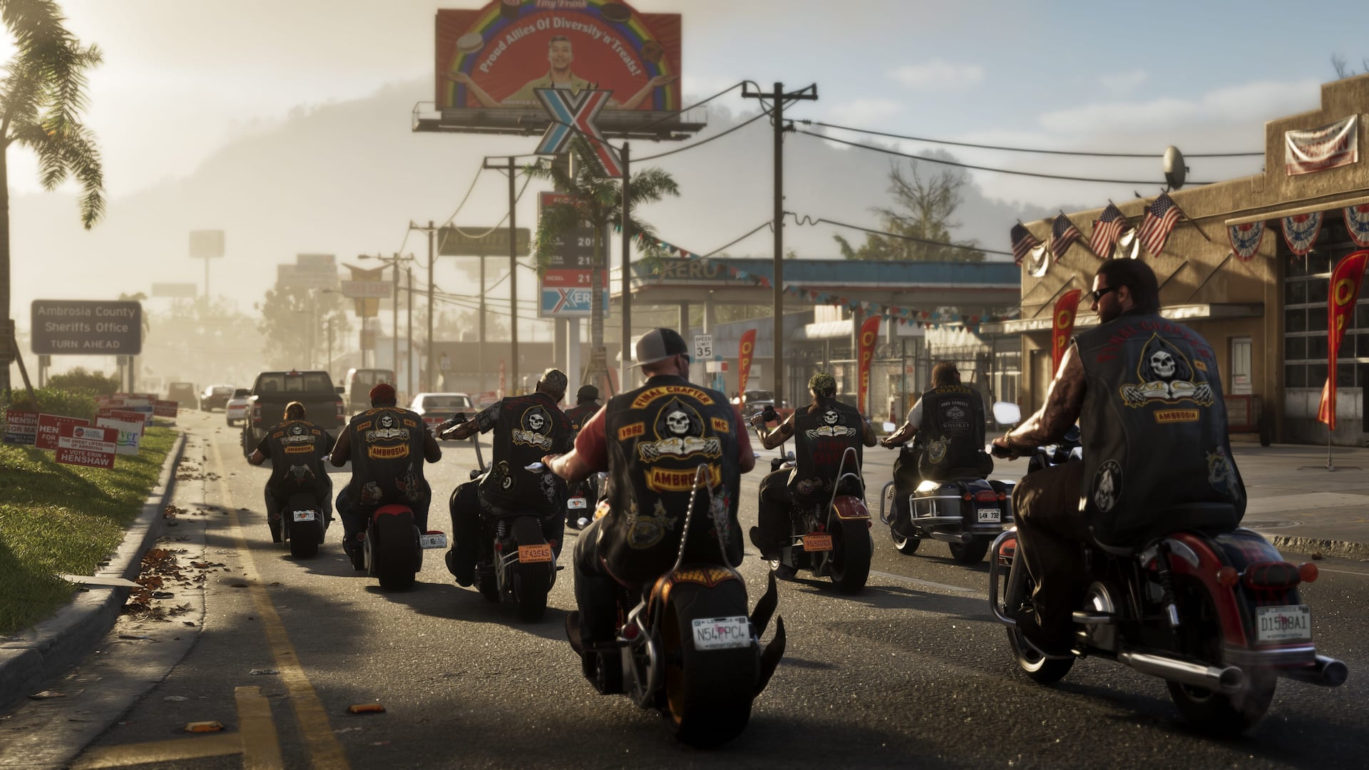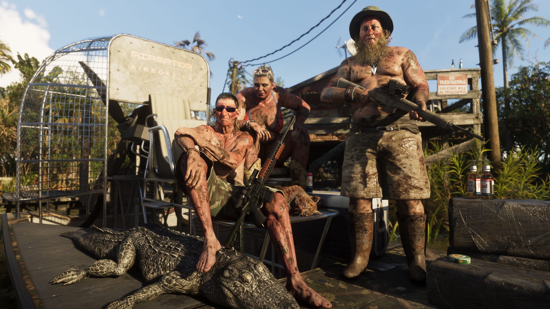
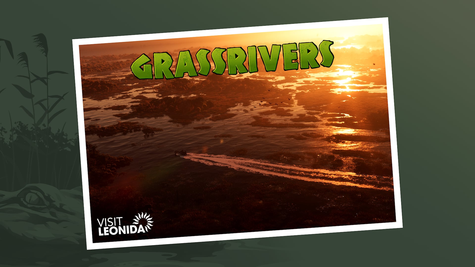
Leonida's untamed wetlands
Grassrivers
Wetlands, waterways, wildlife, remote routes, and discoveries beyond the familiar city grid.
Official Grand Theft Auto VI promotional imagery: Rockstar Games
Regional overview
Know the area. Connect the evidence.
Grassrivers is a broad wetland environment where water, vegetation, wildlife, and limited access reshape how players navigate. GTAGeo organizes the channels, islands, roads, structures, activity sites, and evidence needed to make this difficult region understandable.
GTAGeo field desk
What the map is tracking.
Navigable channels, crossings, and launch points
Landmarks that make remote areas identifiable
Wildlife, events, collectibles, and activity zones
Screenshots and routes that can be repeated by other players
Published regional records
Locations connected to Grassrivers.
The regional desk is open
Help place the first detailed records.
This guide is ready to collect exact locations, screenshots, routes, businesses, mission clues, and corrections for Grassrivers. New findings should become evidence-backed location records, not loose claims.
Keep the regional picture useful
Map what can be checked.
Use exact names, recognizable landmarks, clear screenshots, source links, and repeatable directions. GTAGeo separates official facts, developing evidence, and unverified reports so popularity never becomes proof.
Continue through Leonida